Goldfield, Rhyolite, and Death Valley - 06-21-2016
We departed Tonopah about noon and continued our journey toward Las Vegas on US 95. 26 miles later we are still in Esmeralda County and passing through the county seat of Goldfield. This is another of those boom and bust towns. It may have the county court house, but residents (maybe 1,000 souls) have to drive back to Tonopah to get gas. Along the way we passed a terrific rear-end collision. Just how do you rear-end another car when you can see for miles!
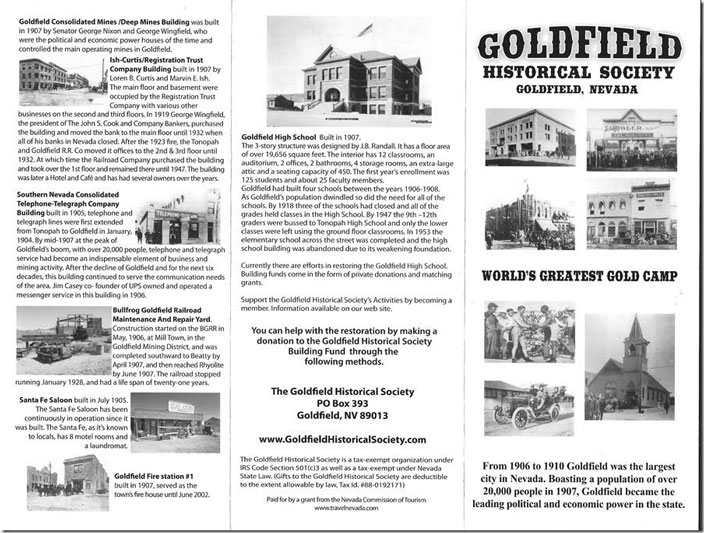
1. Goldfield NV brochure.
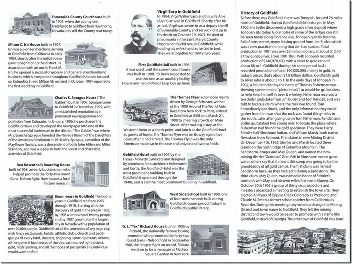
2. Goldfield NV brochure. Page 2.
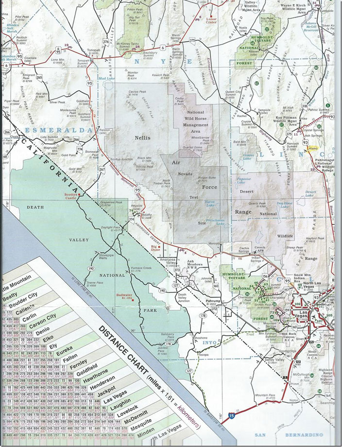
3. NV map for the journey.
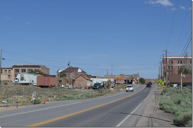
4. Looking south on US 95 at Goldfield NV. The Goldfield Hotel is on the right and the commercial buildings are on the left. The hotel is vacant, and presumably the other historic buildings are also.
5. If you are passing through Beatty and need to stop and rest then this might be the place. Free parking! Obviously the pilot found out that didn’t mean airplanes! Angel's Ladies brothel. Beatty NV.
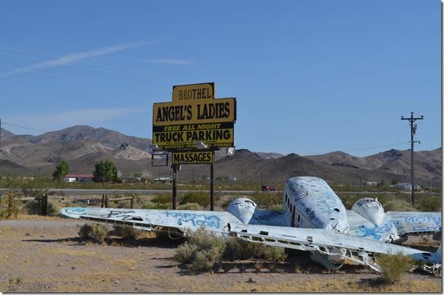
6. Angel's Ladies brothel. Beatty NV. View 2.

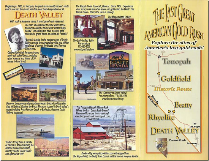
7. The Last Great American Gold Rush brochure.
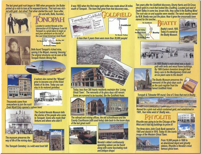
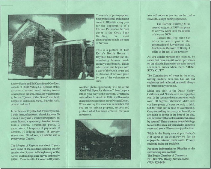
8. The Last Great American Gold Rush brochure. Page 2.
9. Rhyolite NV brochure.
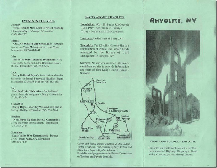
10. Rhyolite NV brochure. Page 2.
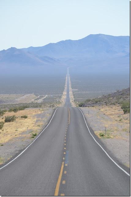
11. NV 374 looking looking southwest toward the entrance to Death Valley National Park. Road to Rhyolite turns right at bottom of hill. NV 374 west, Rhyolite NV.
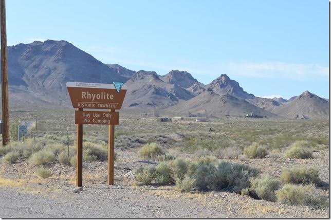
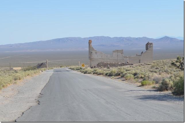
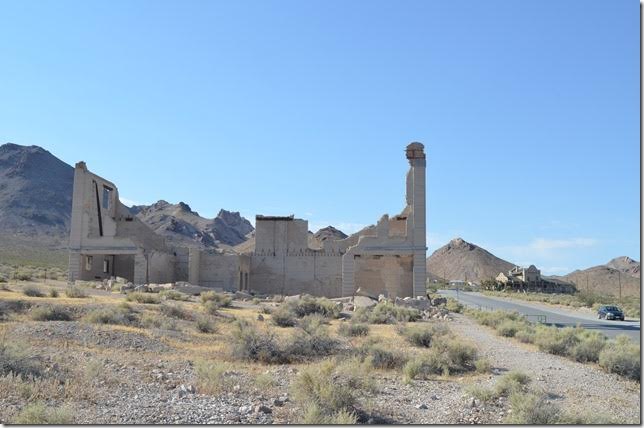
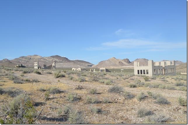
12. Rhyolite NV historic town site.
13. The most famous ghost town in Nevada. In this view are the remains of three commercial buildings, the bottle house, and the depot. There are several websites that devoted to Rhyolite, some of which have historical photos. Rhyolite NV.
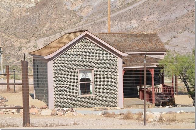
14. Tom Kelly’s “Bottle House.” The ghost town now is protected by the Bureau of Land Management. Rhyolite NV.
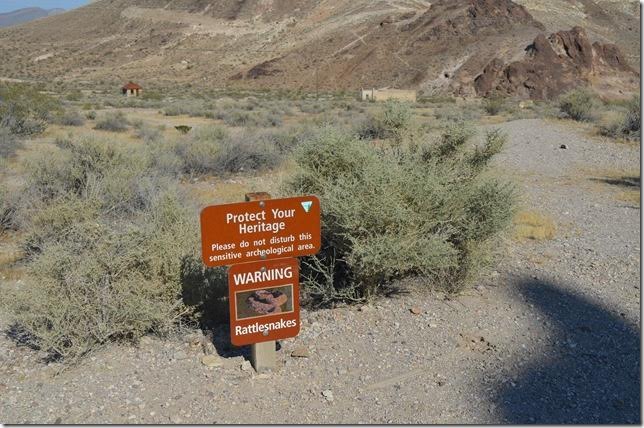
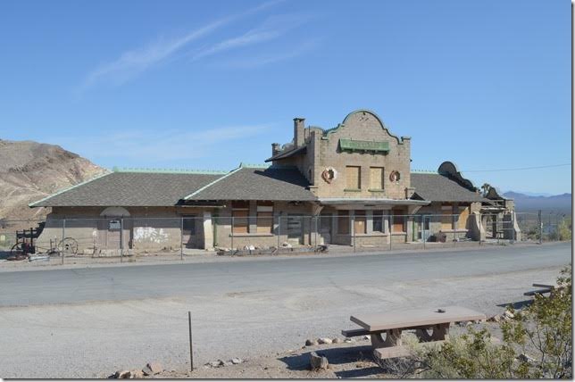
15. Protect Your Heritage sign. Rattlesnake warning sign. Rhyolite NV.
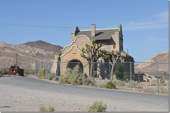
16. The Las Vegas & Tonopah (LV&T) Railroad depot was built around 1906. By the time it was completed the boom was over, and most of the tickets were sold to those leaving Rhyolite. Rhyolite NV.
17. LV&T depot Rhyolite NV. View 2. Railroads of Nevada and Eastern California Volume 2 by David Myrick covers the confusing history of the LV&T, Tonopah & Tidewater Railroad and the Bullfrog Goldfield Railroad very well. Both volumes have been reprinted. Rhyolite and Beatty hosted all three. The Tonopah & Goldfield Railroad operated the BG for a while, and that road is covered on Volume 1. But all of this was short lived, and the railroads around Beatty and Rhyolite were gone by the ‘20s. The T&T in Death Valley and T&G to Goldfield hung on until after WWII.
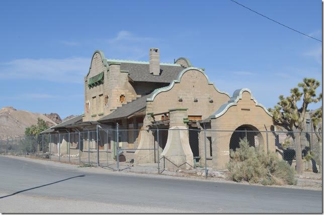
18. LV&T depot. Rhyolite NV. View 3.
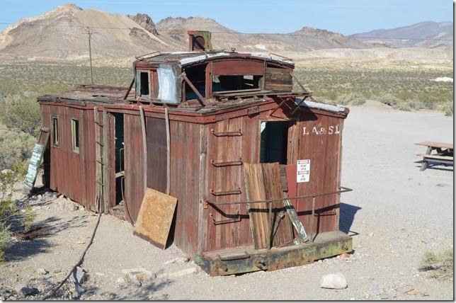
19. At the time, this former San Pedro, Los Angeles & Salt Lake caboose caused me to think that UP had built the line into Rhyolite. Not so. This retired caboose was brought in years later to be used for a gas station! UP caboose.
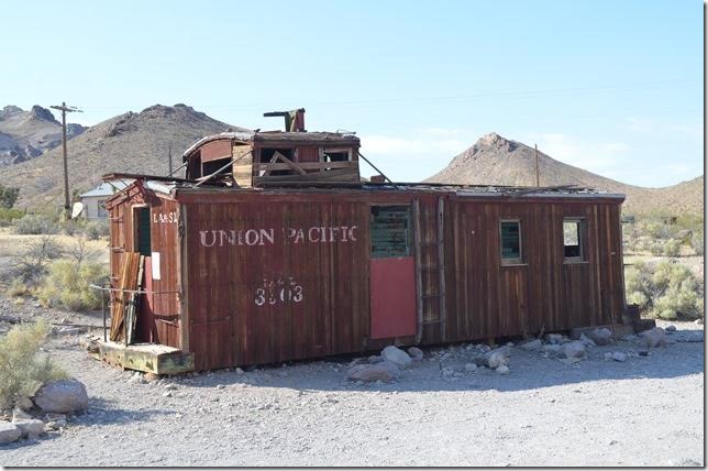
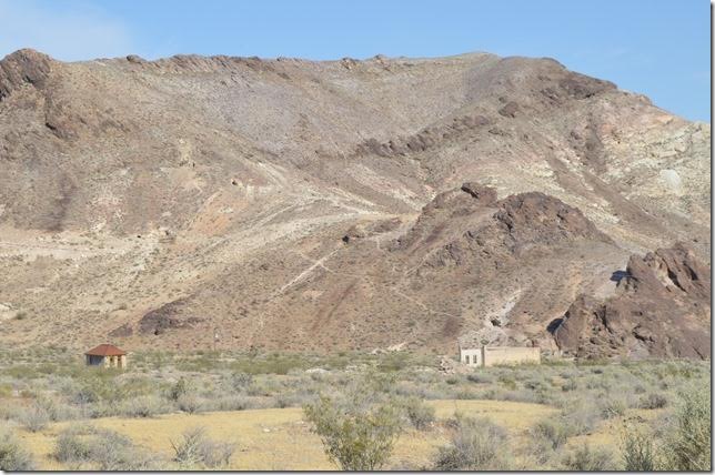
20. UP caboose (LA & SL). View 2.
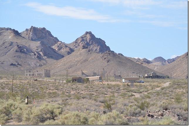
21. Old mine site looking west. The abandoned grade of the Las Vegas & Tonopah also goes around the hill before heading north to Goldfield. Rhyolite NV.
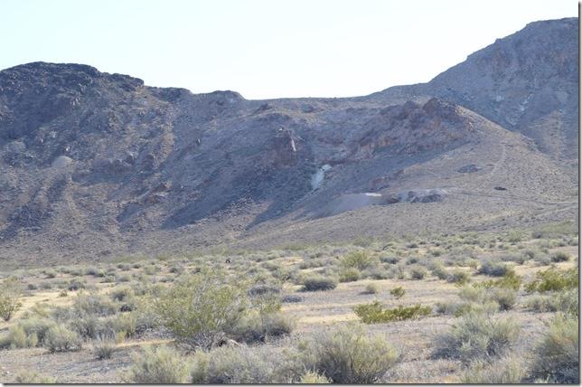
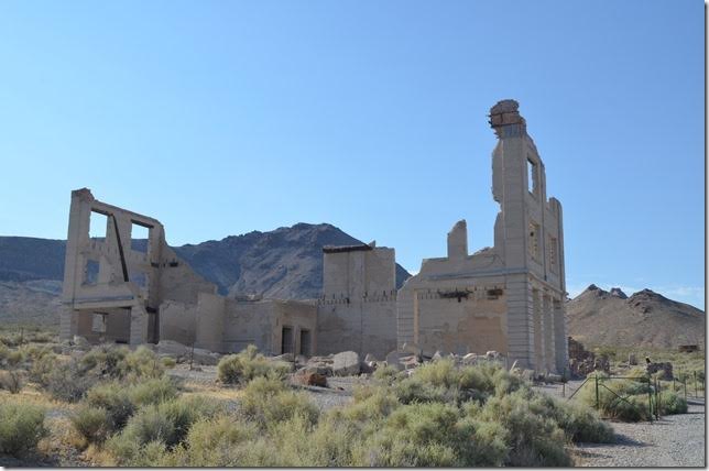
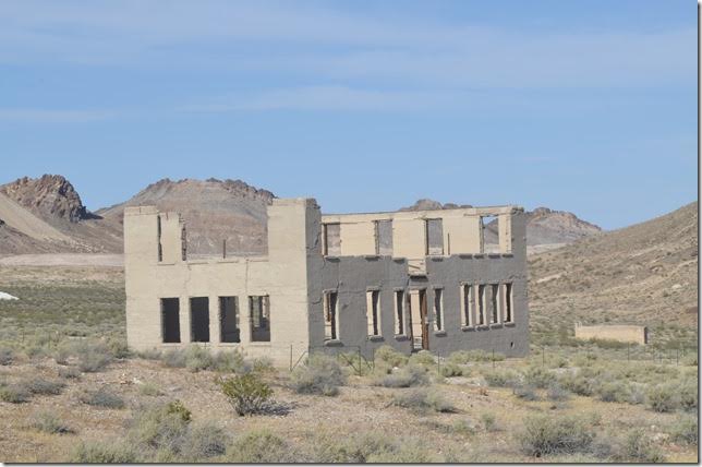
22. Looking east where many frame buildings and houses stood for such a short time in history. There is an active mine on the other side of the hill. Rhyolite NV.
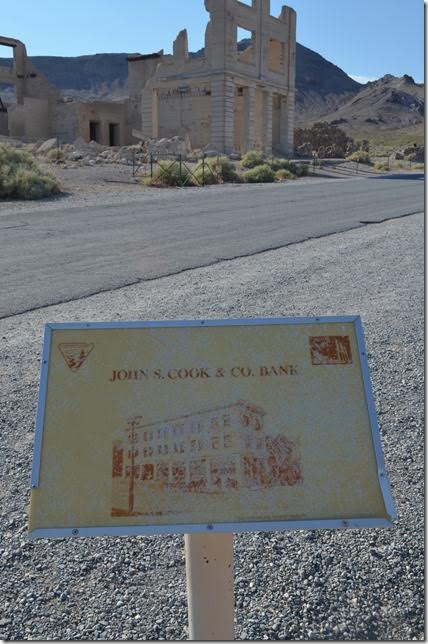
23. Cook Bank building remains. Rhyolite NV.
24. Remains of the Cook Bank building. View 2. Rhyolite NV.
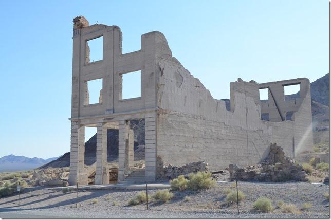
25. Cook Bank building remains. Rhyolite NV. View 3.
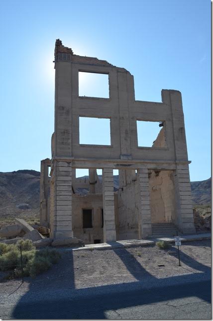
26. John S Cook & Co Bank plaque. Rhyolite NV.
27. Cook Bank building. Rhyolite NV. View 4.
28. Cook Bank and depot. Rhyolite NV.
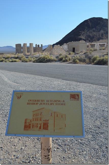
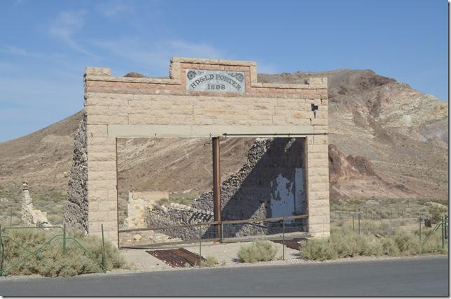
29. Overbury Building & Bishop Jewelry Store plaque. Rhyolite NV.
30. H.D. and L.D. Porter store built 1906. Rhyolite NV.
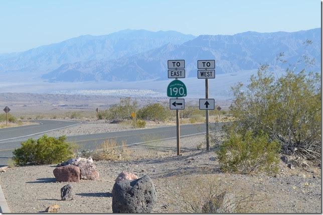
31. H.D. and L.D. Porter store. Rhyolite NV. View 2.
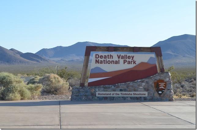
32. On down NV 374 you enter the national park although this is not actually the state line. The state line is on up in Daylight Pass a few miles in the distance. Rhyolite NV.
33. Death Valley NPS Sign. Homeland of the Timbisha Shoshone. Rhyolite NV.
34. We have crossed into California (no welcome sign!). Looking southwest near Daylight Pass. Death Valley NP near Hells Gate CA.
35. We’re going down from the pass (elevation 4317 ft). Death Valley NP near Hells Gate CA.
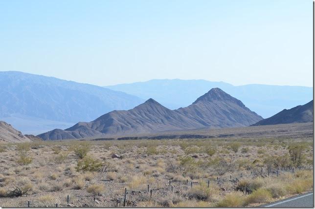
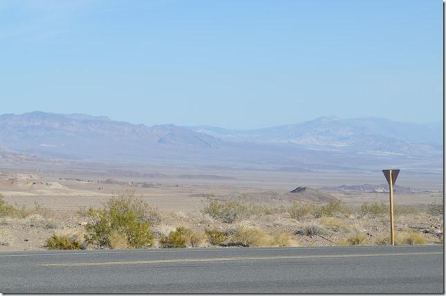
36. Death Valley NP. Hells Gate CA. Highway markers.
37. Looking south into Death Valley toward Furnace Creek from Hell’s Gate. This is the most desolate place I’ve ever seen! Furnace Creek is 218 feet below sea level. Death Valley NP Hells Gate CA.
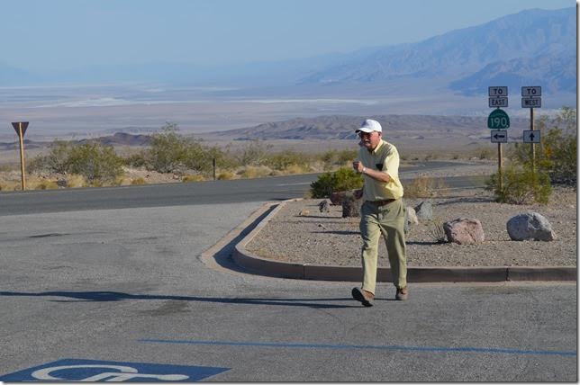
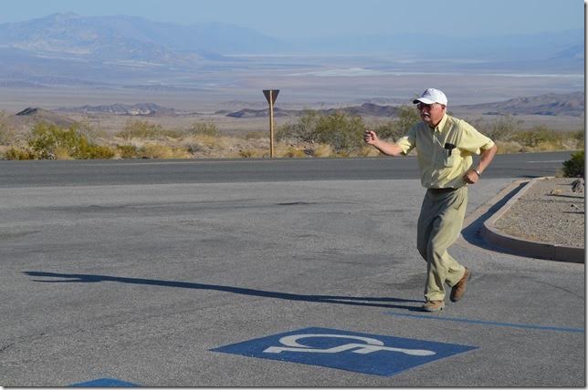
38. Death Valley NP. Hells Gate CA. View 2.
39. Hells Gate CA. Death Valley NP. Jogging.
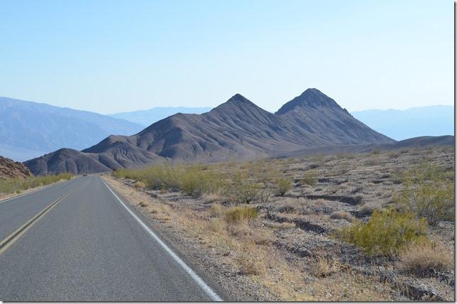
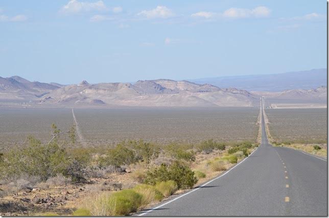
40. I’ve jogged in Death Valley, CA. The temperature was 111 degrees, but not as uncomfortable as here in Pikeville two weeks ago! Hells Gate CA. Death Valley NP.
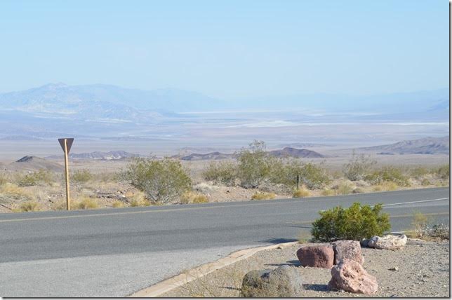
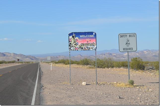
41. Nevada 374 looking northeast toward Beatty across the Amargosa Desert. That’s Rhyolite on the far left. Near Rhyolite NV.
42. Nevada state line near Rhyolite. It was 115 miles from Beatty to Las Vegas, and we got there after dark. Much of US 95, I’ve read, uses the old LV&T roadbed. After having read up on the southern railroads in Nevada I would like to visit this forbidding region again.
Another good book is Tonopah & Tidewater Railroad – The Nevada Short Line by Phil Serpico. This covers the T&T and other railroads and industries in Death Valley plus the Bullfrog Goldfield and Las Vegas & Tonopah to which it connected at Beatty. In 296 pages, he did an amazing job unearthing day-to-day history on the obscure T&T.
We flew home the next day.
Train images used by permission of Everett N Young